What We Do
Professional Services Built on Precision
From property surveys to advanced geospatial analysis, every service is delivered with technical accuracy and regulatory compliance across Cebu and the Philippine archipelago.
01
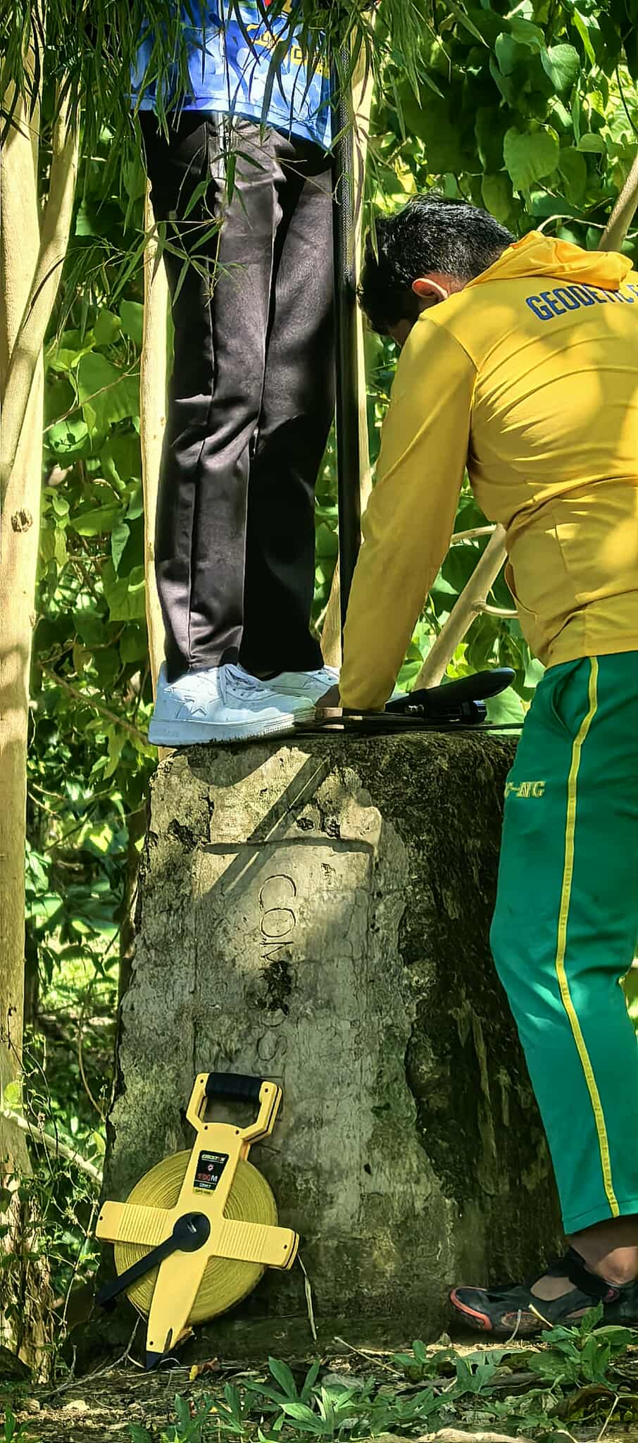
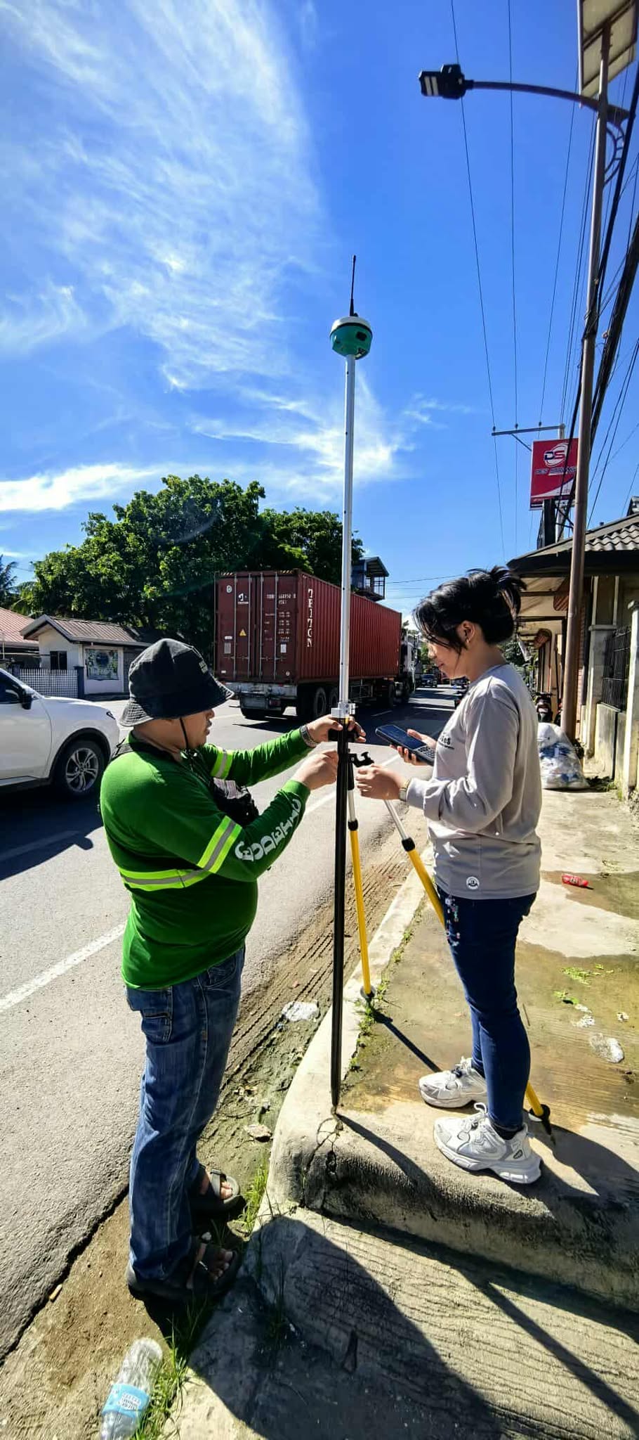
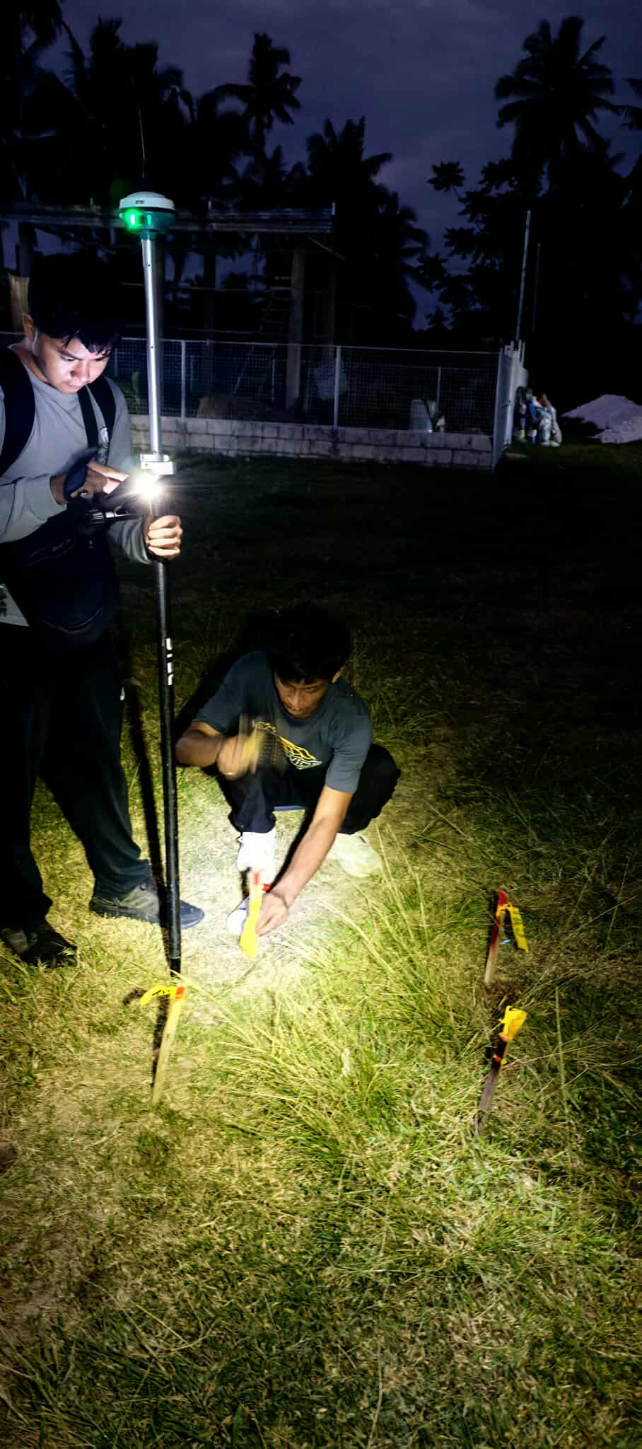
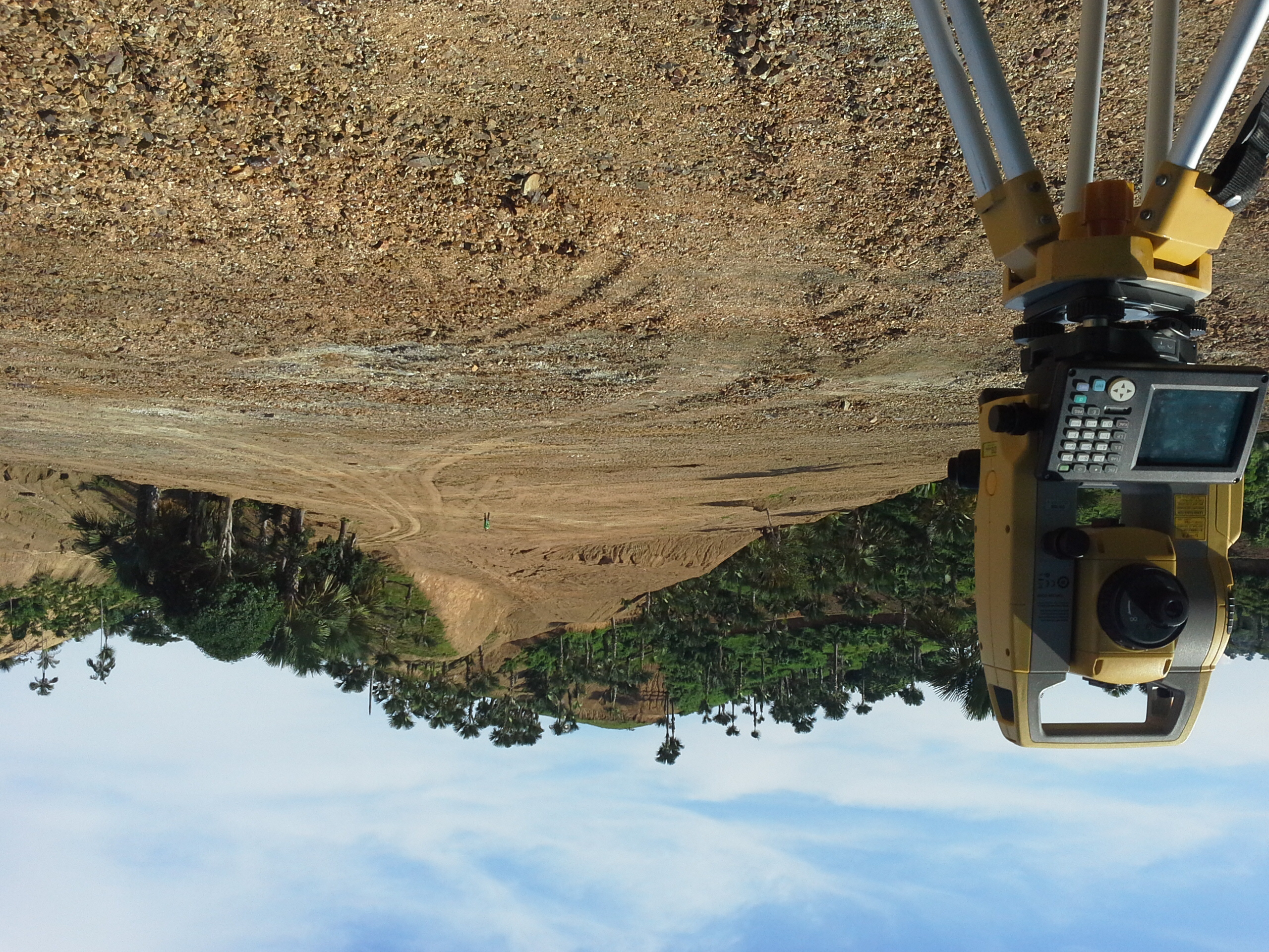
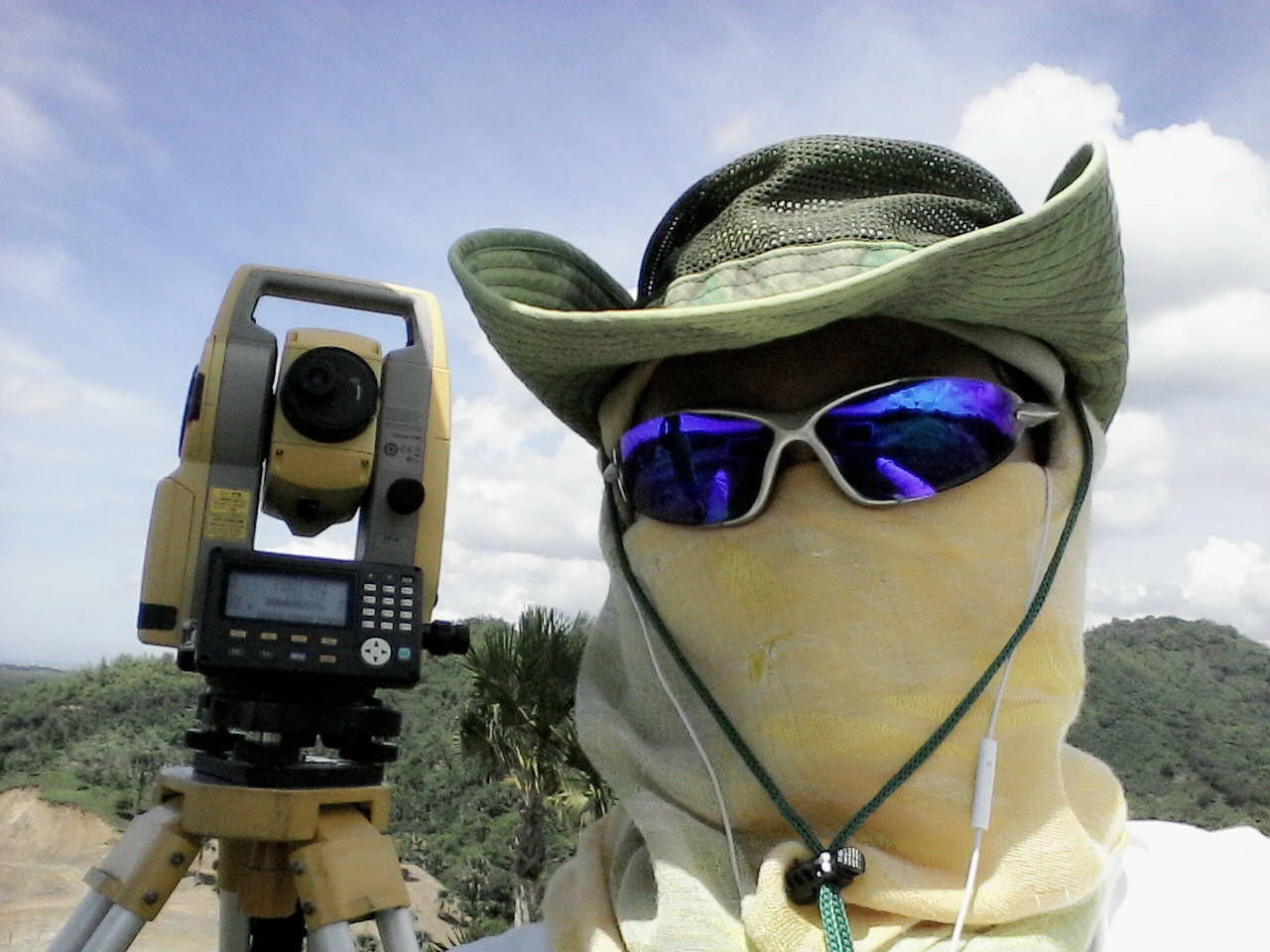
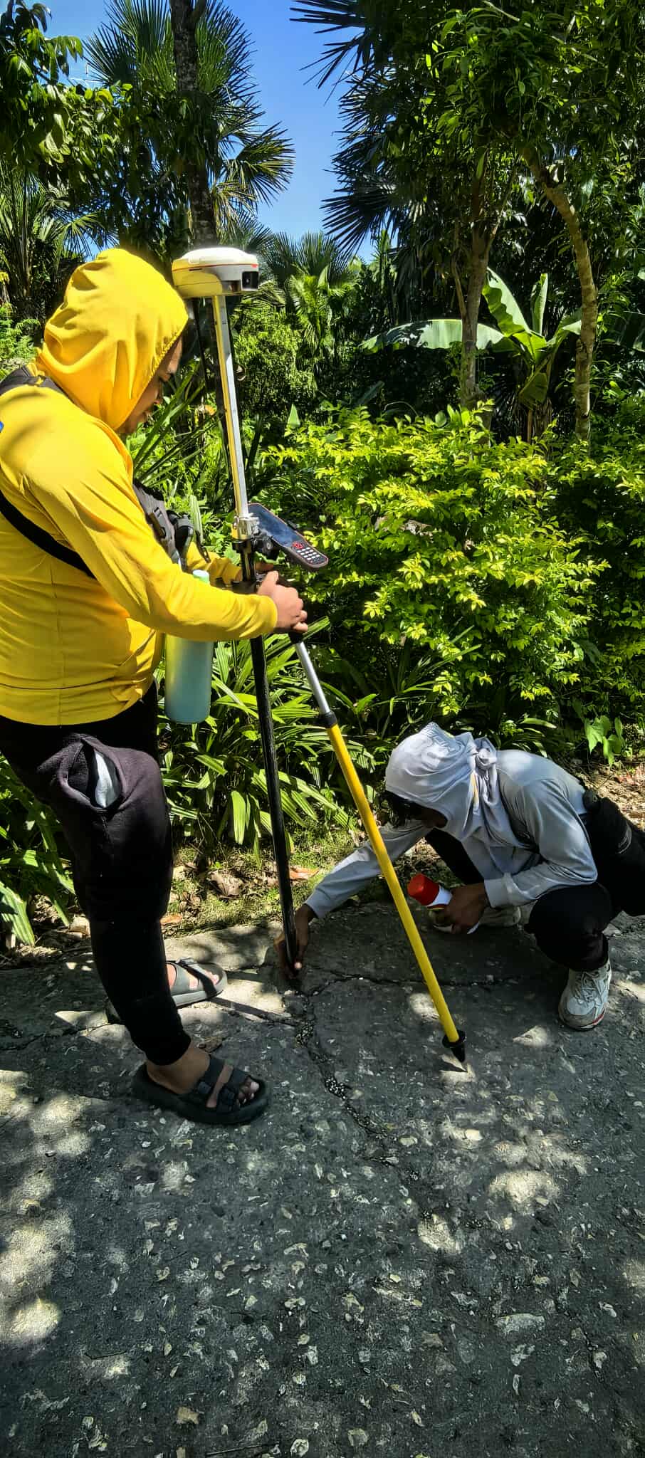
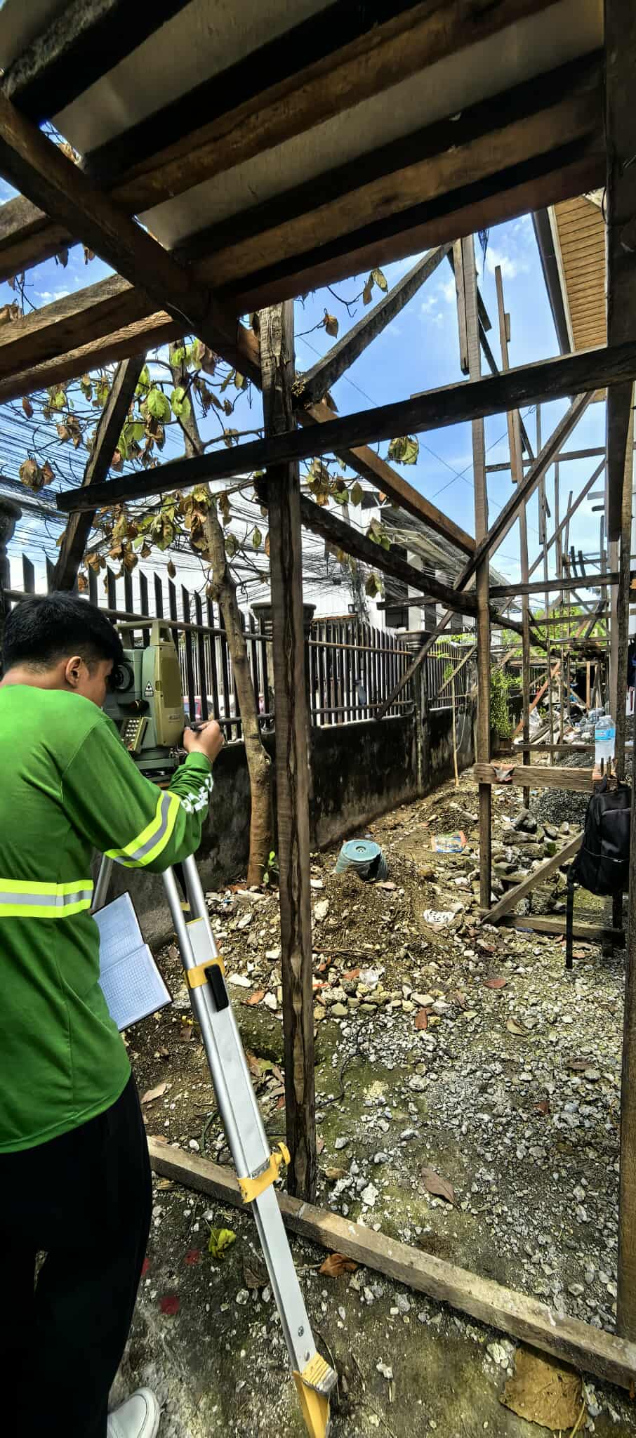
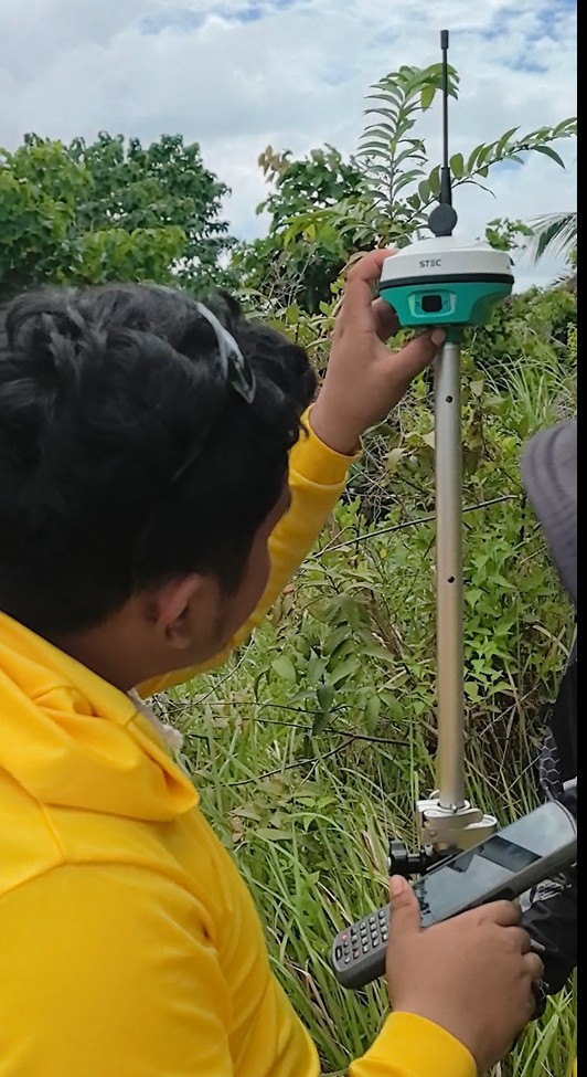
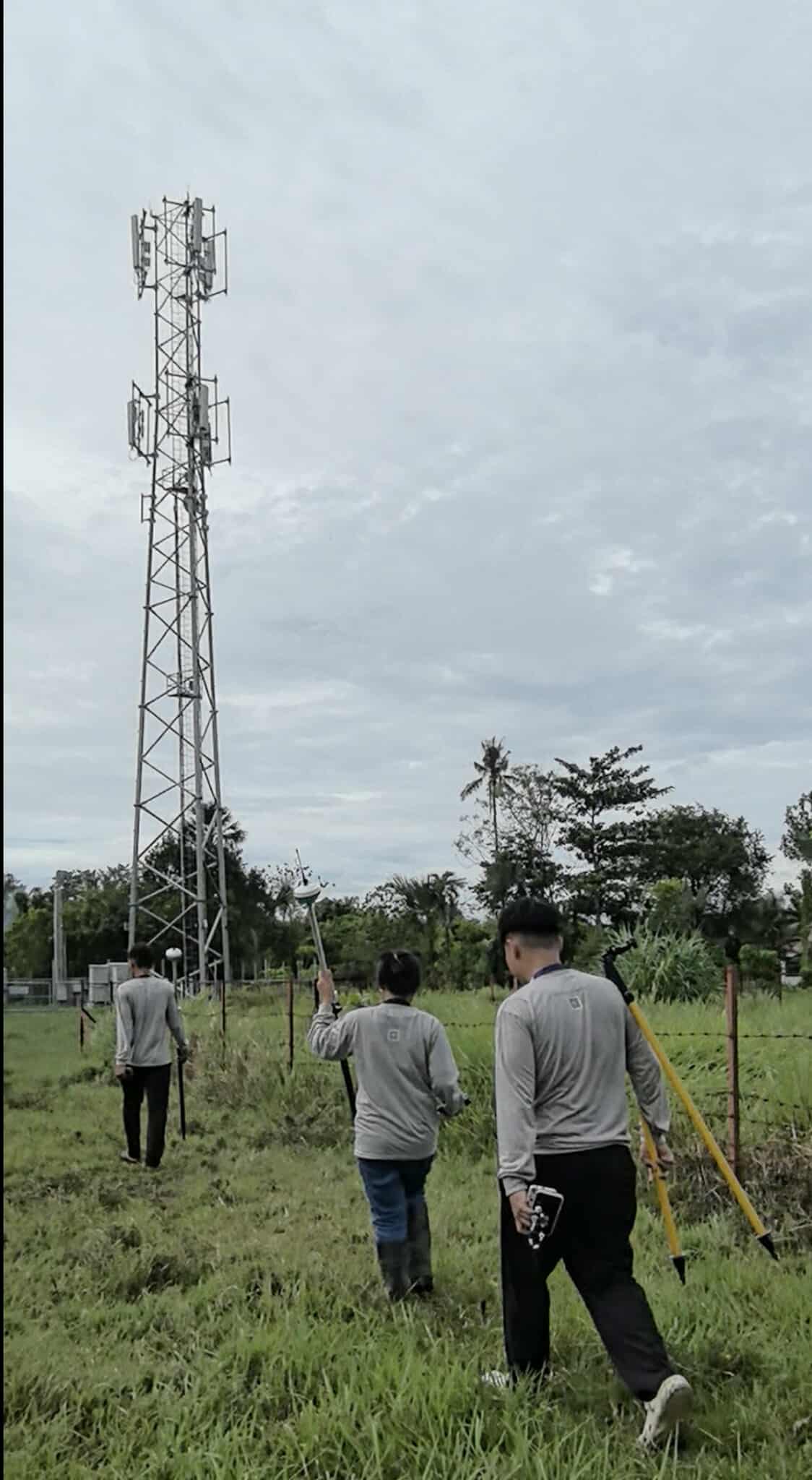
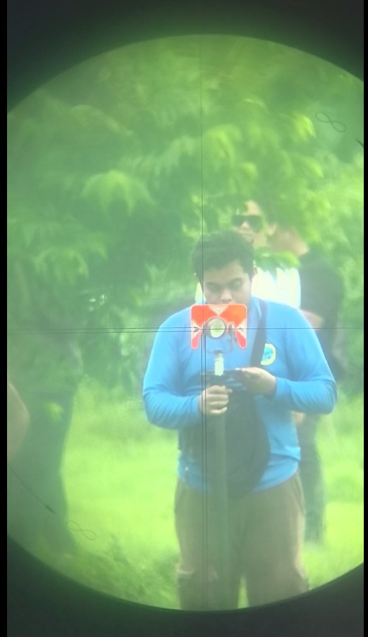
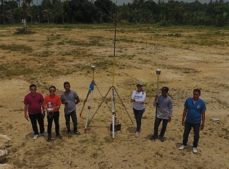
Surveying Services
Property · Engineering · CAAP
Property Surveys
- Consolidation / Subdivision / Consolidation-Subdivision Survey
- Relocation Survey
- Foreshore Lease Survey
- Sketch Plan Survey
- Advance Plan Survey
- Special Plan Survey
Engineering Surveys
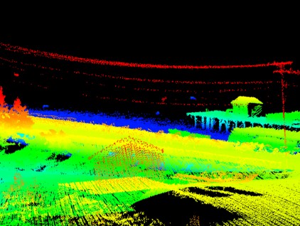
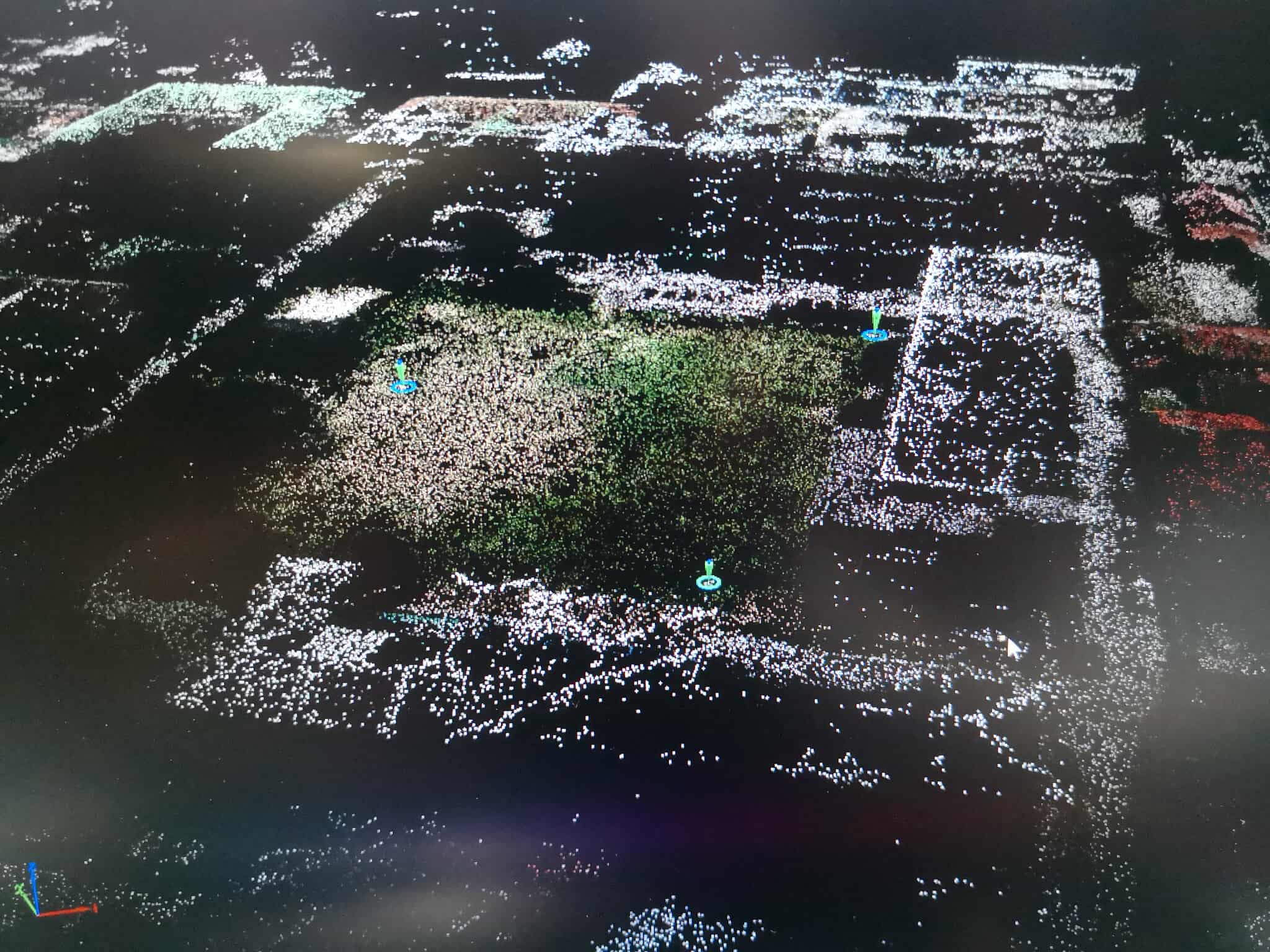
- Drone-supported Survey
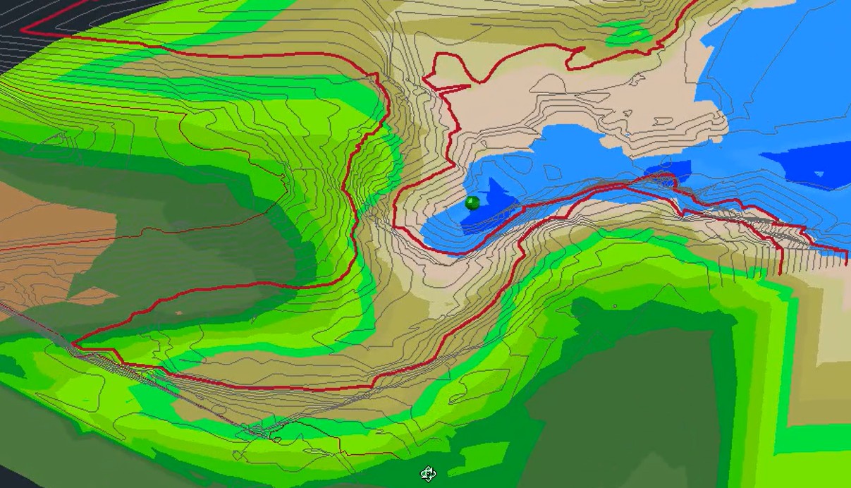
- Topographic Survey
- Bathymetric Survey
- Feasibility & Environmental Study
- Project Control Survey
CAAP Surveys
- Height Limitation (HL) Survey
- Height Clearance Permit (HCP) Survey
- Obstacle Limitation Surface (OLS) Survey
02
Geospatial Mapping
Engineering Plans · GIS Mapping
Engineering Plans
- Lot Plans
- Vicinity Sketch
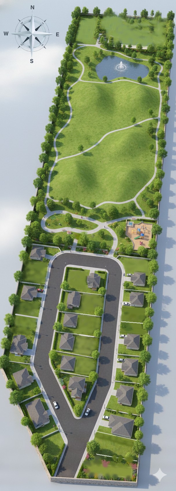
- Subdivision Scheme Design
- Site Development Plan
GIS Mapping
- Digital Mapping
- Thematic Mapping
03
Advanced Geospatial Solutions
Analysis · Modelling · Visualization
- Land Suitability / Site Analysis
- Spatial Information Systems Development ***
- Digital Project Portfolio
- Site Development Plan Rendering
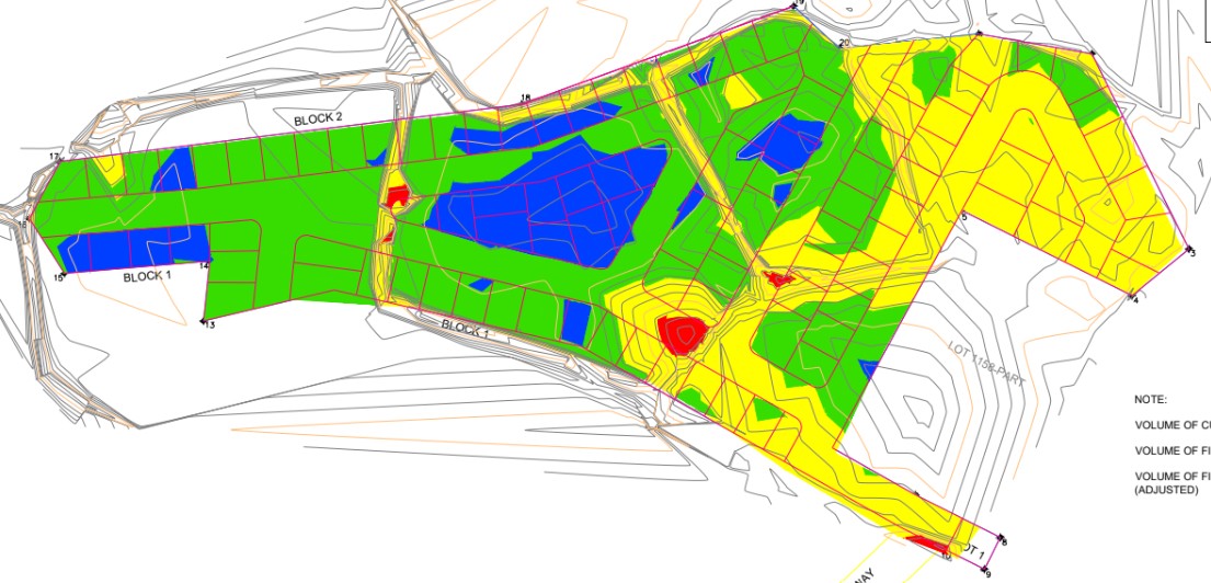
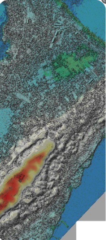
- Flood Modelling
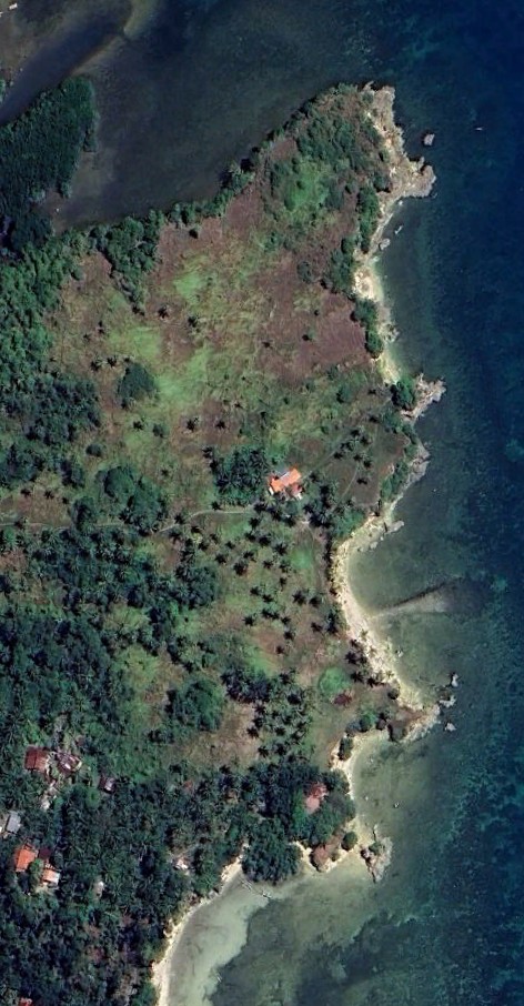
- Aerial Mapping ***
- Property Visualization ***
- 3D Terrain Modelling
- Conceptual Scheming

04
Regulatory Support
Applications · Processing · Compliance
- Foreshore Lease Agreement Application
- Miscellaneous Lease / Sales Application
- License to Sell
- DAR Conversion
- Survey Authority Processing
- Estate Transfer


05
Emerging Technologies
Innovation · Intelligence · Digital
- LiDAR Mapping
- Digital Twin
- Geospatial Intelligence